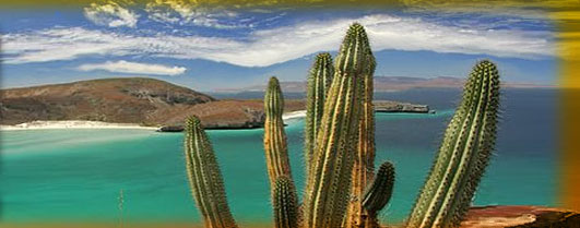
 Aguascalientes
 means
hot water in Spanish; the name comes from the abundance of hot springs in the area. Located in central Mexico, Aguascalientes borders the Mexican states of Zacatecas and Jalisco and is located about 537 km northwest of Mexico City. There are five trditional neighborhoods in Aguascalientes. Those neighborhoods are La Estacion, La Salud, El Encino, Guadalupe, and San Marcos(where the annual San Marcos Fair is held). Aguascalientes was founded in 1575. The city is very Spanish in nature and is known for its pottery, embroideries and woven goods. Aguascalientes, Mexico is the capital city of Aguascalientes the state. Historically, the Spanish chose this city as an outpost to guard against the Chichimec Indians who once resided in the area. It was an outpost against the Indian tribes until 1857 when a state of republic was created under the same name as the state, Aguascalientes. In 1910 through 1920 the city of Aguascalientes was a major rail junction between Mexico City and the silver mines of Zacatecas. Natives call Aguascalientes "the perforated city" or La Ciudad Perforada due to its intertwining passages, or catacombs beneath it that the pre-colonial Indians carved from rock. Their origin and reason is unknown and is presently not open to the public.